
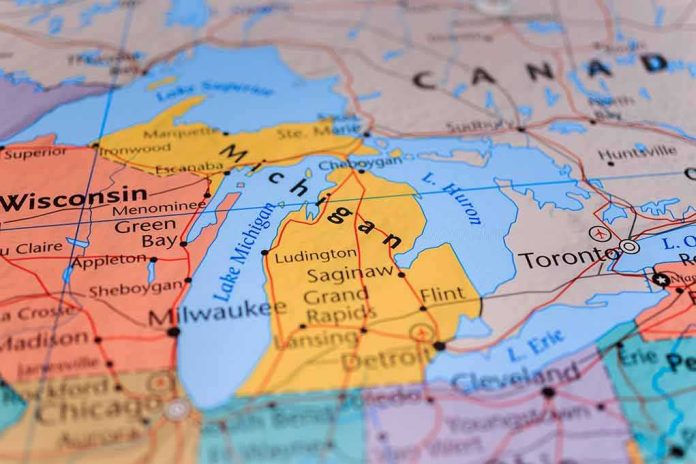
Place names on modern maps are not merely labels; they sit at the junction of law, sovereignty, and platform policy, which is why one vast body of water can now carry two different names depending on which side of a border—real or digital—you stand.
The Short Version
- A White House executive order directed U.S. authorities to rename Lake Ontario as “Lake America” for federal use, routing implementation through Interior and the U.S. Board on Geographic Names.
- Google Maps reflects the U.S. federal change by showing “Lake America” to U.S. users, while preserving “Lake Ontario” in Canada and dual labeling elsewhere.
- The legal effect is jurisdictional: binding for U.S. federal usage, not for Canada or international bodies, ensuring durable cross-border disagreement.
- Public opposition—from Canadian leaders, New York officials, and Indigenous representatives—frames the move as unilateral and ahistorical, guaranteeing ongoing contestation.
What changed, and what did not: the legal mechanics of a U.S. rename
The fulcrum of the change is an executive order instructing the federal government to replace “Lake Ontario” with “Lake America” across U.S. systems and to update the Geographic Names Information System (GNIS), the canonical federal database for domestic toponyms. The order assigns execution to the Secretary of the Interior in coordination with the Board on Geographic Names (BGN), the body established to settle “unsettled questions” of nomenclature for federal use; the directive sets a 30‑day window for updating GNIS entries and cleansing agency references. In other words, the rename is real and operative for U.S. federal publications and data—maps, contracts, and communications—once GNIS is updated and agencies conform their records.
Two limits are structural. First, BGN authority runs to standardization for federal use; it does not bind states, private platforms, foreign governments, or international standards bodies. Second, the order is partly programmatic—directing Interior and BGN to act—so implementation unfolds on a timetable rather than instantaneously. These constraints matter because they explain why some maps flip right away while others do not, and why the same lake presents under different names to different audiences. Reuters captured the point succinctly: the order governs U.S. federal usage; it does not dictate Canadian or global practice.
Why Google Maps changed—and why it looks different by country
Google’s cartography stack ingests authoritative naming signals and then applies region-specific display rules. The company stated plainly that it updated its U.S. label after the GNIS entry for the lake changed from “Lake Ontario” to “Lake America”—consistent with a long‑standing policy of implementing name changes reflected in official government sources. For U.S. users, Google shows “Lake America.” For Canadian users, Google preserves “Lake Ontario.” Users elsewhere see both, signaling the jurisdictional split to a global audience. This is not caprice; it is how a global platform reconciles divergent sovereign names on a shared feature while minimizing user confusion and honoring official sources in each market.
This split-screen approach is common in cross-border naming disputes. Platforms adopt a source hierarchy—domestic naming authority first in each country—and then localize labels by user location, language, or both. The result is a cartographic détente: each side gets its name at home; the rest of the world often sees dual labels. It is an engineering solution to a political problem, and it tends to persist because it satisfies the minimum expectations of regulators and users in multiple jurisdictions at once.
Historical authority and its jurisdictional edge
Within the United States, BGN’s role is well settled. Established by executive action in the 19th century and later codified in practice, the Board’s decisions are binding on federal departments and agencies. GNIS, maintained by the U.S. Geological Survey in coordination with BGN, serves as the operational ledger; change the ledger, and federal maps and data follow. That alignment is why an executive order that compels Interior and BGN to update GNIS is consequential for federal artifacts—labels propagate through procurement documents, agency websites, and map services that depend on federal datasets or synchronize to them periodically.
None of that creates extraterritorial reach. Canada maintains its own naming authorities and cartographic standards, and international bodies often arbitrate by accepting multiple endonyms (local names) when sovereigns disagree. In practice, two regimes can be simultaneously “official,” each within its legal perimeter. When the feature is shared—a strait, a mountain range, a lake—that legal perimeter is a border running through a shared geography and a shared user base. The friction is not a bug; it is the predictable manifestation of divided sovereignty.
The counter-case: tradition, Indigenous heritage, and political symbolism
Public opposition to the U.S. rename coalesced around three themes: historical continuity, Indigenous origins, and political context. Canadian leaders emphasized a name with centuries of use and Indigenous roots, arguing that a unilateral U.S. action cannot rewrite a binational reality; Ontario’s premier and Canada’s prime minister pledged to keep using Lake Ontario in Canadian usage now and always. In New York, state and local officials rejected adopting the new label in their jurisdictions, and the Seneca Nation condemned the move as an affront to cultural heritage—an argument that reaches beyond jurisdiction to legitimacy. These are not legal defeaters of BGN’s authority inside the United States; they are normative claims about history and respect that ensure the dispute remains publicly contested.
Motives matter in perception even when they do not in law. Because the order arrived amid trade tensions, commentators easily read it as symbolic politics rather than neutral nomenclature. That frame influences adoption curves: institutions with no legal compulsion to change are likelier to stick with the legacy name, slowing normalization despite a clear federal directive.
How this plays out next: adoption, inertia, and platform dependencies
Expect a layered adoption trajectory. Federal agencies will converge first, as policy requires; GNIS updates typically cascade into federal map services and data portals, which then inform contractors and downstream integrators. State usage will vary—some will mirror federal convention, others will diverge for political or historical reasons. Private platforms will continue to arbitrate by jurisdiction: Google has already localized labels; other vendors will choose based on their own source hierarchies and risk calculus. The net effect will be schismatic—one lake, two names—until or unless a bilateral accommodation emerges.
Two practical complications will endure. First, legacy inertia: centuries of “Lake Ontario” in atlases, journalism, and public memory ensure that usage persists long after databases flip. Second, platform dependence: because consumer understanding of place names is now mediated by a handful of mapping services, their editorial and policy choices—how aggressively to localize, when to dual-label, whether to privilege federal sources over local or international ones—shape reality on the ground as much as any legal instrument. Even when the U.S. order remains in force, a change in a platform’s policy can alter what hundreds of millions of users see overnight.
How to read the map—and the policy—like an expert
The cleanest way to understand the rename is to separate three layers. Layer one: U.S. federal authority. The executive order directs Interior and BGN to standardize “Lake America” in federal systems; once GNIS reflects that, federal usage follows, and services that key to GNIS for U.S. labels have a strong basis to update. Layer two: foreign and international practice. Canada and international bodies are not bound; they retain “Lake Ontario,” with political and cultural rationales that will endure, especially where Indigenous heritage is foregrounded. Layer three: platforms. Global consumer maps resolve conflicts by localizing names to sovereign usage and, where necessary, showing both. None of these layers invalidates the others; they coexist.
That coexistence is the point. Geographic names are a social contract encoded in law and reflected in software. When the law diverges across borders, the software follows suit. The result can look messy—a different name in Buffalo than in Toronto, a dual label in Berlin—but it is a faithful representation of how authority and meaning are actually distributed. In that sense, the map is not broken. It is telling you something important about the world.
Trump TRUTH ™️: Google Maps changes Lake Ontario to ‘Lake America’ on US phones: https://t.co/m4QAk8xAFb
— Taxman™️ (@TaxmanTm) August 30, 2026
Sources:
reddit.com, cnn.com, bbc.com, 9to5google.com, cnbc.com, blog.google